Terratlas
THE GAME COLLECTION

Geography quizzes.

Test your map memory, from country borders to capital cities.
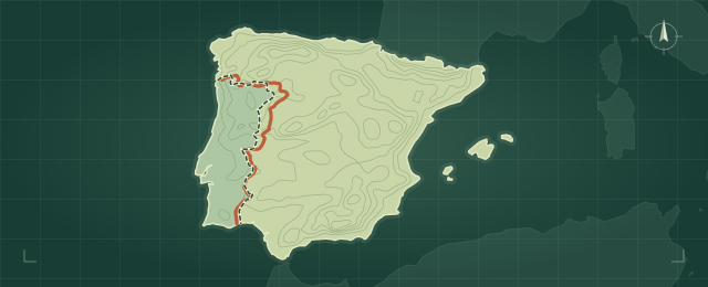
FIG. 01
BORDER DRAWING

Border Atlas

Sketch the shared border between two neighboring countries.

Play game
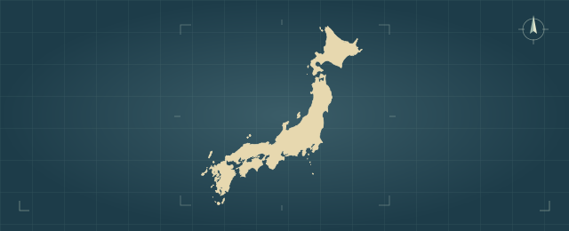
FIG. 02
COUNTRY IDENTIFICATION

Outline Guessr

Look at a country’s silhouette and type its name.

Play game
FIG. 03
NATIONAL FLAGS

Flag Guessr

Identify the country from its national flag.

Play game
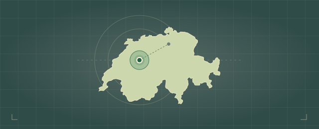
FIG. 04
CAPITAL CITIES

Capital Guessr

Name the capital and see your guess on the map.

Play game
Country pair

Draw the border.

Draw the shared border from memory.

Drag to draw. Lift to start another line. Clear removes the sketch. Arrow keys move the pencil, Space starts or finishes a line, and Enter checks your guess.
ROUND 01
COUNTRY IDENTIFICATION

Outline Guessr.

Identify the country from its silhouette.

ROUND 01

Opening the atlas…

FIELD RECORD

Practice analysis.

Your geography results across all four games, saved in this browser.

OVERALL PERFORMANCE

Unranked

Finish a round to earn your first title.

—/ 100
0 rounds · 0 of 4 games played
How your score and title work

Each game you’ve played has equal weight in your overall score. Border Atlas uses your average drawing score. In the other games, a first, second, or third guess earns 100, 75, or 50 points. Missed and revealed rounds earn 0. Unfinished rounds don’t count.

ROUND LOG

History

Your recent rounds, newest first.

FIELD MANUAL

How to play.

Choose a game for its rules and controls.

  1. Read the outline

    The highlighted land belongs to the countries named above the map. Game settings lets you switch mountain relief, neighboring land, names, and border endpoints on or off.

  2. Draw the missing line

    Draw in either direction and lift your pencil between sections. Clear starts a fresh sketch.

  3. Compare your sketch

    Check your border to watch the dashed line trace the answer. Your ink changes color along the way to show which stretches were on target, near, or a miss. Select your score to see placement and coverage.

How scoring works

Placement rates how closely your line follows the border. A nearby line with a similar direction earns partial credit, even when drawn in reverse. Coverage checks how much of the border you attempted. Only ink on the highlighted land is scored. A line far from the entire border can score zero.

Drawing controls

Every round shows the participating countries together. Change any clue in Game settings to update the map immediately. Press P to focus the pencil. Use the arrow keys to move, Space to start or finish a line, and Enter to check. Clear removes every line. Choose Undo just after clearing, or press Ctrl+Z or ⌘Z.

Map data and credits

Outlines use Natural Earth at 1:50 million scale. Mountain relief comes from NOAA ETOPO5. Each plate uses a local equal-area projection to display the participating countries. Flag artwork comes from flag-icons.

Play Border Atlas
Maps and offline play

The next border loads while you play. Game data is saved in the background on supported browsers. Downloaded data speeds up return visits in this browser.

Checking downloaded maps…
YOUR TERRATLAS ACCOUNT

Your next discovery.

Sign in with Google to keep your progress, wherever you play.

Keep exploring as a guest →
THE WORLD STANDINGS

A world of
good company.

Curious minds. Well-travelled memories. See where you stand.

Loading the standings…

How the standings work

Players are ranked by their average points across all eligible finished rounds, from 0 to 100. Finish at least 10 rounds in the selected category to qualify. More completed rounds break ties; exact ties share a rank.

Rounds started online while signed in are eligible. Imported guest history, rounds started offline, and border replays stay in your personal record. Revealing an answer or using all three guesses without solving earns 0 points. Border clues are allowed.

The overall score in Analysis gives each game equal weight. The leaderboard uses your average per round.